click image to view enlargement
View Photo of Additional Label (11027B.JPG)
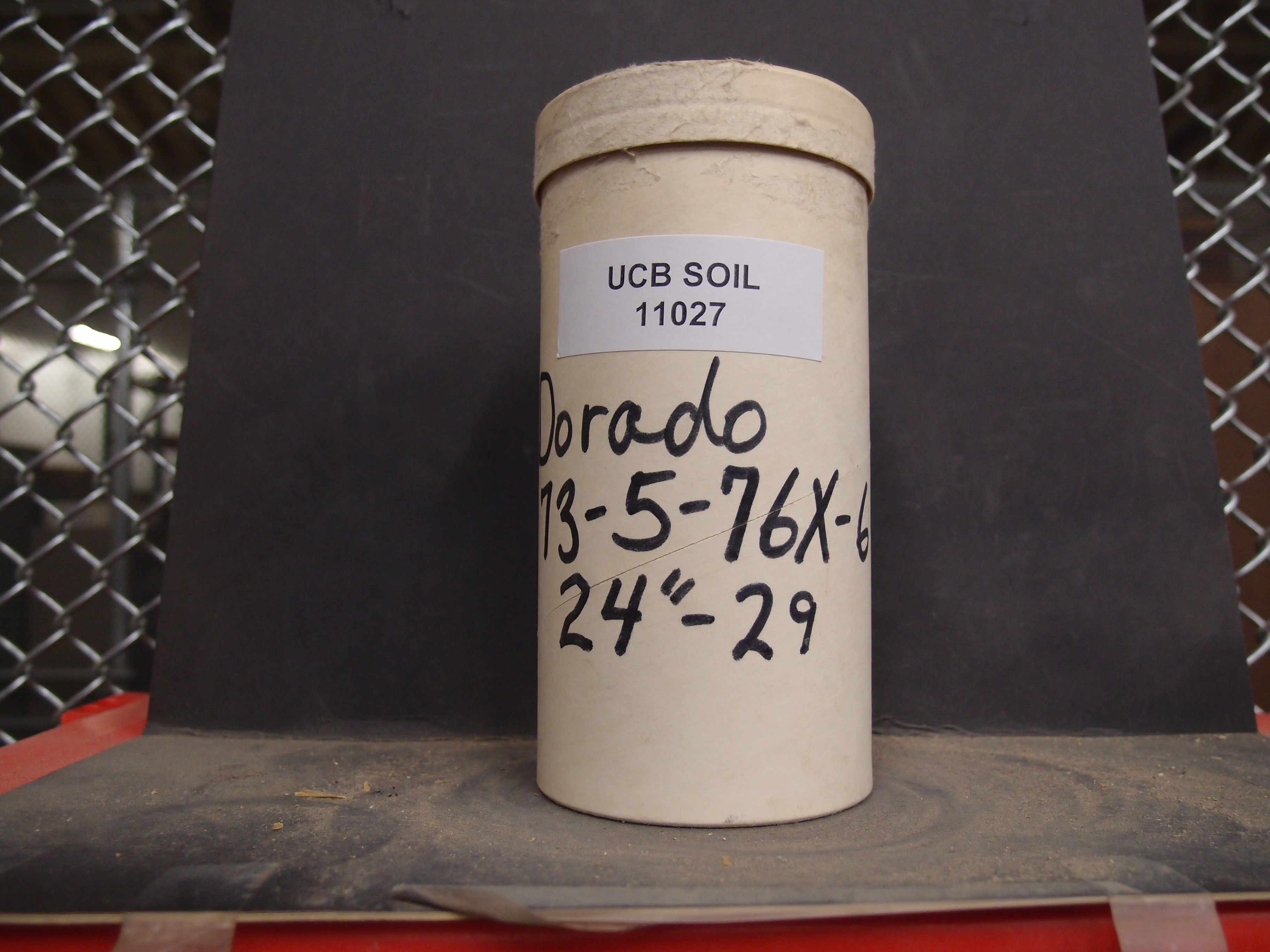
|
| Record ID | 8797
|
| UCB Soil | 11027 |
| Area | |
| Code | 73-5-76x-6 |
| Subsoil of | |
Verbatim
Location | Dorado |
| Collector |
| | Depth | 24.00 to 29.00 inches | | Soil Name | | Verbatim
Description | |
|
| Created By |
Preethi Kandhalu |
| Creation Date |
2014-02-13 10:41:06 |
| Updated By |
Preethi Kandhalu |
| | Coll. Date |
|
| City | |
| County |
|
| Meridian |
| | Township | | | Range | | | Section | | | Latitude | 38.771216 | | Longitude | -120.4953 | | Uncertainty Radius | 57675 | | Georef by | preethikandhalu | | Georef Remarks | Adjusted according to extent of El Dorado county. |
| Code2 | 1246-6 |
Data Entry
Comments
(to flag the record) |
|
|
