click image to view enlargement
View Photo of Additional Label (11041B.JPG)
|
| Record ID | 8820
|
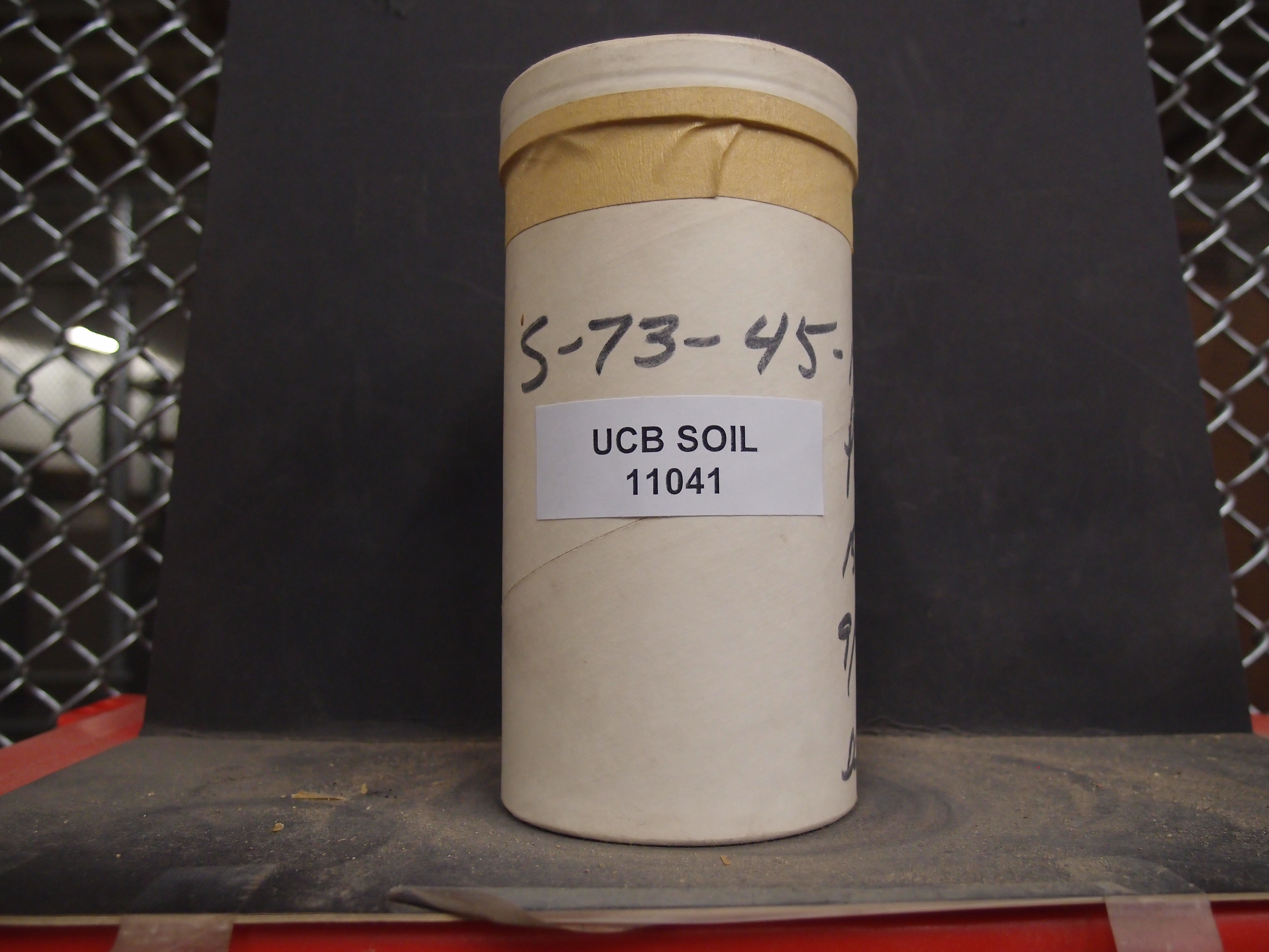
| UCB Soil | 11041 |
| Area | |
| Code | S-73-45-179X-6* |
| Subsoil of | |
Verbatim
Location | |
| Collector |
WR Allardice and DH
| | Depth | 15.00 to 25.00 inches | | Soil Name | Puls | Verbatim
Description | |
|
| Created By |
Preethi Kandhalu |
| Creation Date |
2014-02-13 11:15:23 |
| Updated By |
Sam Swayze |
| | Coll. Date |
1973-09-20 |
| City | |
| County |
|
| Meridian |
| | Township | | | Range | | | Section | | | Latitude | | | Longitude | | | Uncertainty Radius | | | Georef by | rgottsegen | | Georef Remarks | Unable to georeference. |
| Code2 | |
Data Entry
Comments
(to flag the record) |
|
|
