click image to view enlargement
View Photo of Additional Label (11538B.JPG)
|
| Record ID | 9897
|
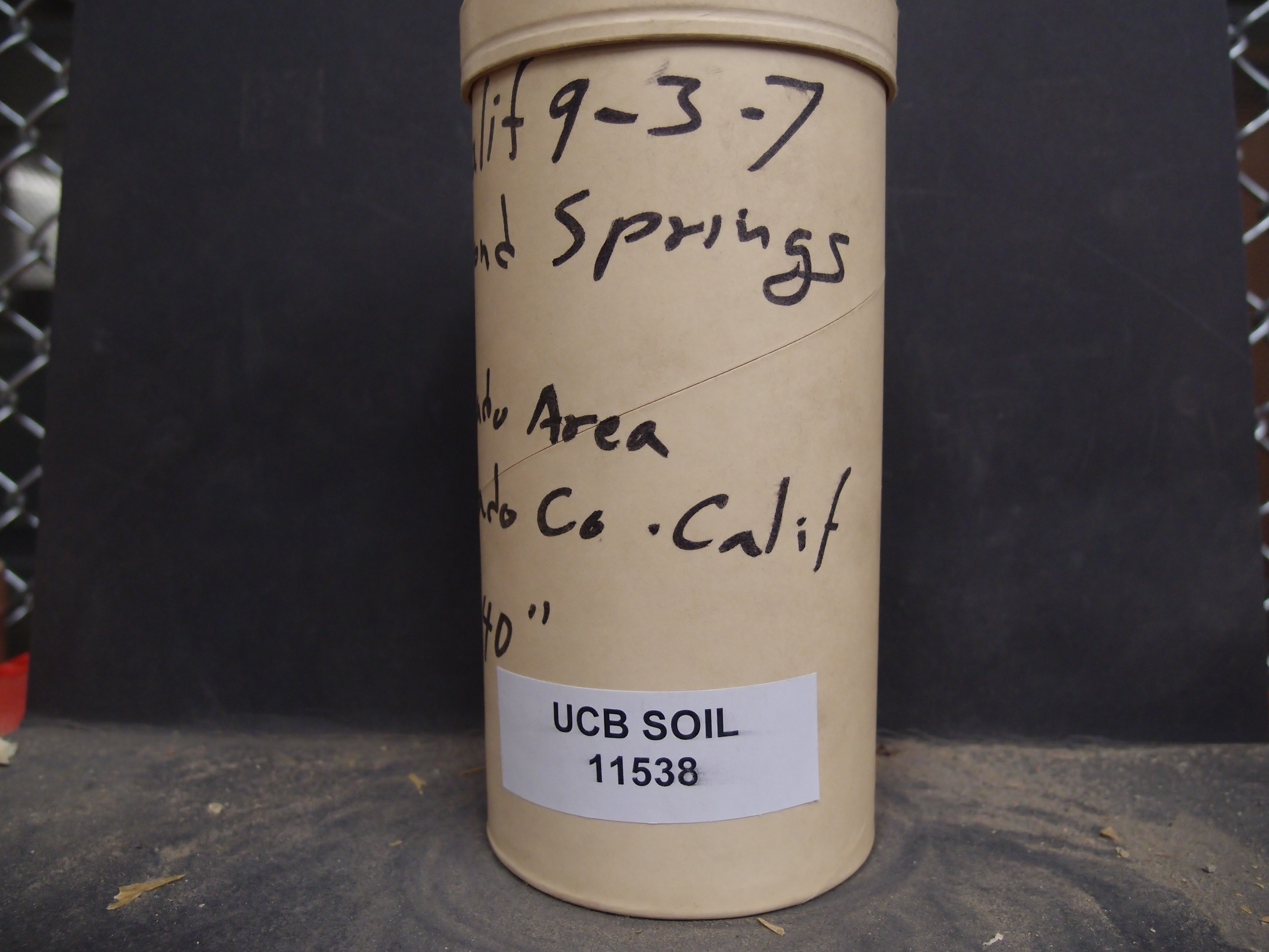
| UCB Soil | 11538 |
| Area | El Dorado Area |
| Code | 62 Calif 9-3-7 |
| Subsoil of | |
Verbatim
Location | |
| Collector |
| | Depth | 36.00 to 40.00 inches | | Soil Name | Diamond Springs vfsl | Verbatim
Description | |
|
| Created By |
Preethi Kandhalu |
| Creation Date |
2014-02-27 12:56:57 |
| Updated By |
|
| | Coll. Date |
|
| City | |
| County | El Dorado County
|
| Meridian |
| | Township | | | Range | | | Section | | | Latitude | 38.784064 | | Longitude | -120.492554 | | Uncertainty Radius | 57889 | | Georef by | preethikandhalu | | Georef Remarks | Uncertainty based on extent of El Dorado County. |
| Code2 | C2 |
Data Entry
Comments
(to flag the record) |
|
|
