click image to view enlargement
View Photo of Additional Label (11680B.JPG)
|
| Record ID | 10394
|
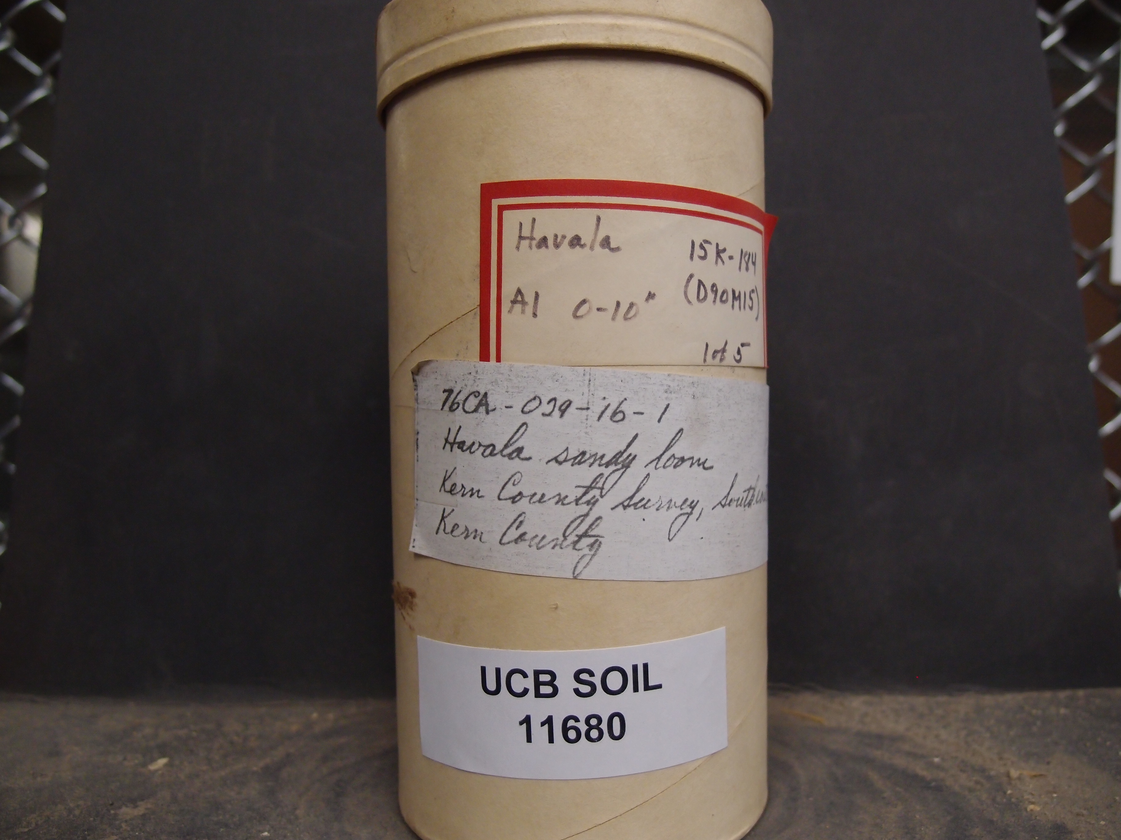
| UCB Soil | 11680 |
| Area | Kern County Survey, Southeastern Part |
| Code | 76CA-029-16-1 |
| Subsoil of | |
Verbatim
Location | |
| Collector |
| | Depth | 0.00 to 10.00 inches | | Soil Name | Havala Sandy Loam | Verbatim
Description | A1. 15K-184. (D90M15) 1 of 5 |
|
| Created By |
Preethi Kandhalu |
| Creation Date |
2014-03-04 12:57:36 |
| Updated By |
|
| | Coll. Date |
|
| City | |
| County | Kern County
|
| Meridian |
| | Township | | | Range | | | Section | | | Latitude | 35.378131 | | Longitude | -118.853438 | | Uncertainty Radius | 130890 | | Georef by | preethikandhalu | | Georef Remarks | Error is extent of county. |
| Code2 | |
Data Entry
Comments
(to flag the record) |
|
|
