click image to view enlargement
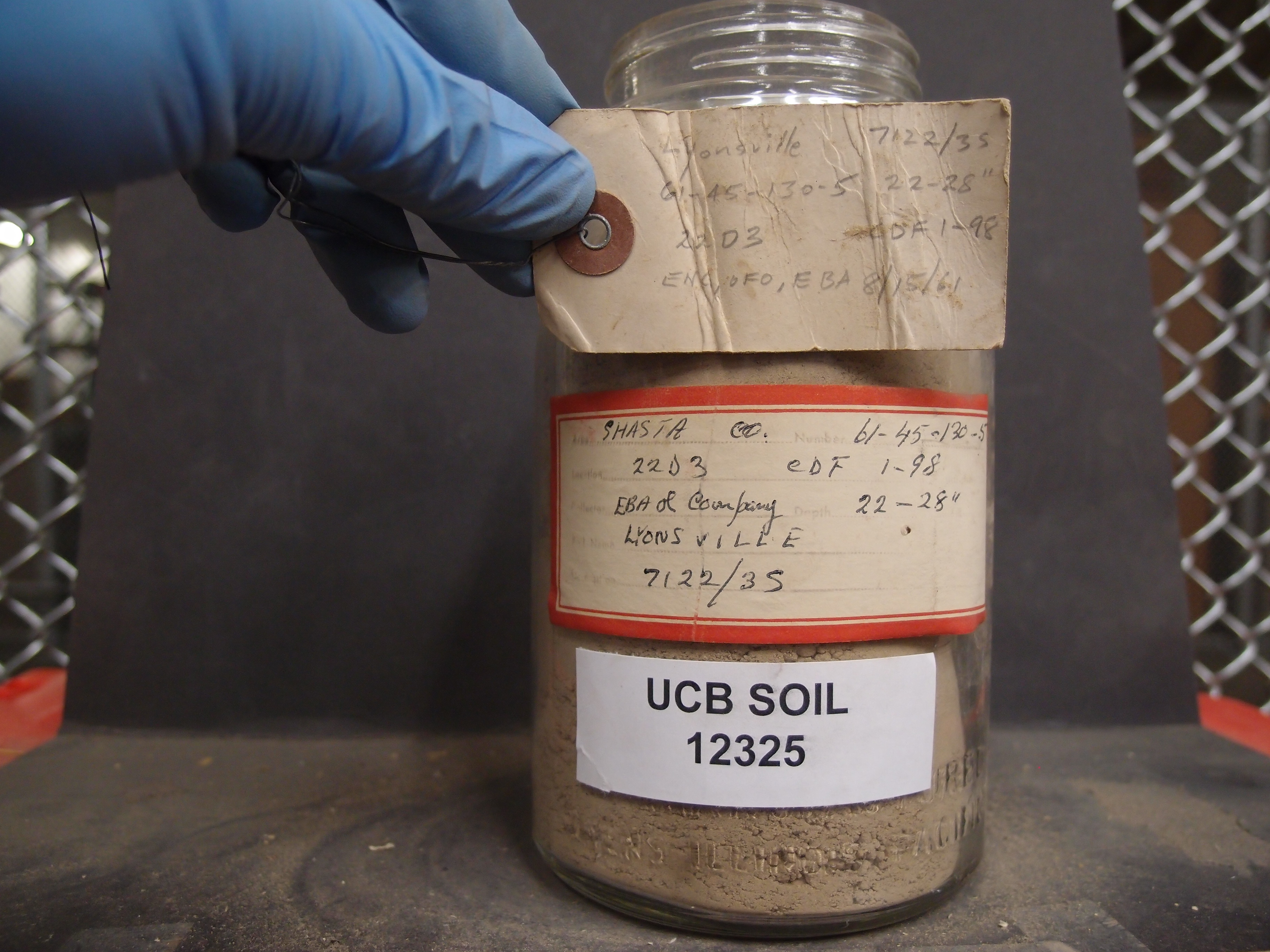 |
| Record ID | 12097
|
| UCB Soil | 12325 |
| Area | |
| Code | 61-45-130-5 |
| Subsoil of | |
Verbatim
Location | Shasta Co
Quad 22D3. Photo CDF 1-98 |
| Collector |
EB Alexander and company
| | Depth | 22.00 to 28.00 inches | | Soil Name | Lyonsville | Verbatim
Description | |
|
| Created By |
Preethi Kandhalu |
| Creation Date |
2014-04-15 12:10:44 |
| Updated By |
Jessica Rothery |
| | Coll. Date |
1961-08-15 |
| City | |
| County | Shasta County
|
| Meridian |
| | Township | | | Range | | | Section | | | Latitude | 40.683708 | | Longitude | -122.13455 | | Uncertainty Radius | 90367 | | Georef by | nmezaki | | Georef Remarks | Error is extent of county. |
| Code2 | 7122/35 |
Data Entry
Comments
(to flag the record) |
|
|
