click image to view enlargement
View Photo of Additional Label (12433B.JPG)
|
| Record ID | 12214
|
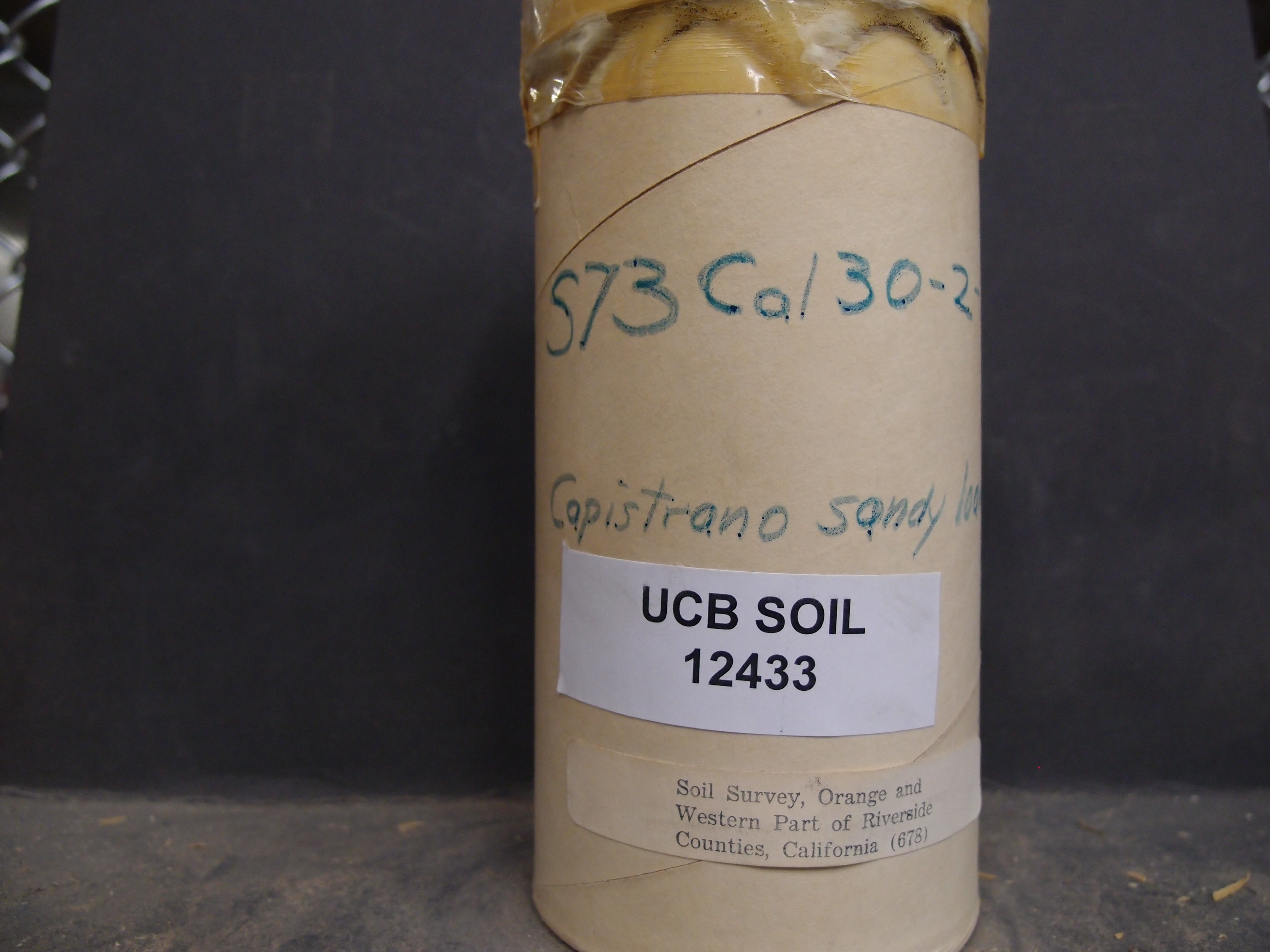
| UCB Soil | 12433 |
| Area | Orange and Western Part of Riverside Counties |
| Code | S73 Cal 30-2-1 |
| Subsoil of | |
Verbatim
Location | Soil Survey, Orange and Western Part of Riverside Counties, California |
| Collector |
| | Depth | 0.00 to 5.00 inches | | Soil Name | Capistrano sandy loam | Verbatim
Description | |
|
| Created By |
Natalie Mezaki |
| Creation Date |
2014-04-15 15:07:44 |
| Updated By |
Jessica Rothery |
| | Coll. Date |
|
| City | |
| County | Riverside County
|
| Meridian |
| | Township | | | Range | | | Section | | | Latitude | 33.767585 | | Longitude | -117.541394 | | Uncertainty Radius | 59438 | | Georef by | preethikandhalu | | Georef Remarks | Error is extent of Orange County and Western part of Riverside County extending till Hemet |
| Code2 | Ap1 |
Data Entry
Comments
(to flag the record) |
|
|
