click image to view enlargement
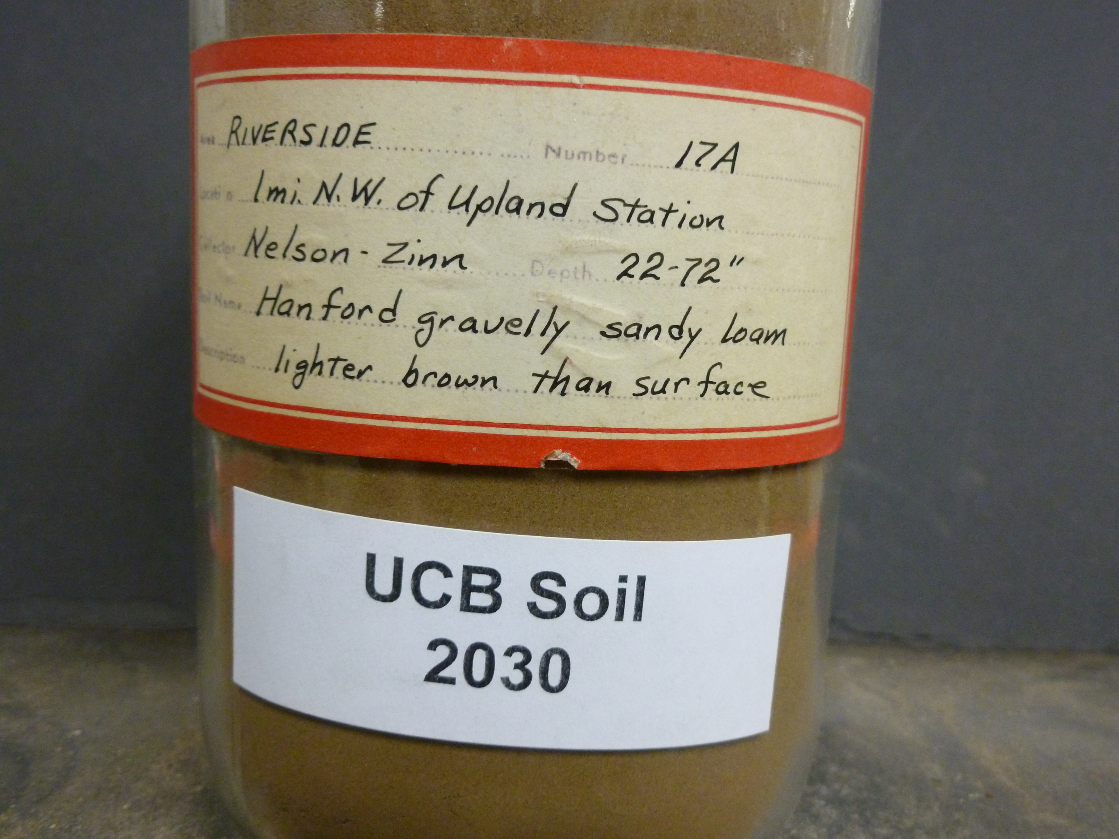 |
| Record ID | 1742
|
| UCB Soil | 2030 |
| Area | Riverside |
| Code | 17A |
| Subsoil of | |
Verbatim
Location | 1 mi. N.W. of Upland station |
| Collector |
Nelson and Zinn
| | Depth | 22.00 to 72.00 inches | | Soil Name | Hanford gravelly sandy loam | Verbatim
Description | lighter brown than surface |
|
| Created By |
Taylor Winchell |
| Creation Date |
2013-02-26 15:39:09 |
| Updated By |
Sky Korber |
| | Coll. Date |
|
| City | |
| County |
|
| Meridian |
| | Township | | | Range | | | Section | | | Latitude | | | Longitude | | | Uncertainty Radius | | | Georef by | tammydong | | Georef Remarks | revisit later |
| Code2 | |
Data Entry
Comments
(to flag the record) |
|
|
