click image to view enlargement
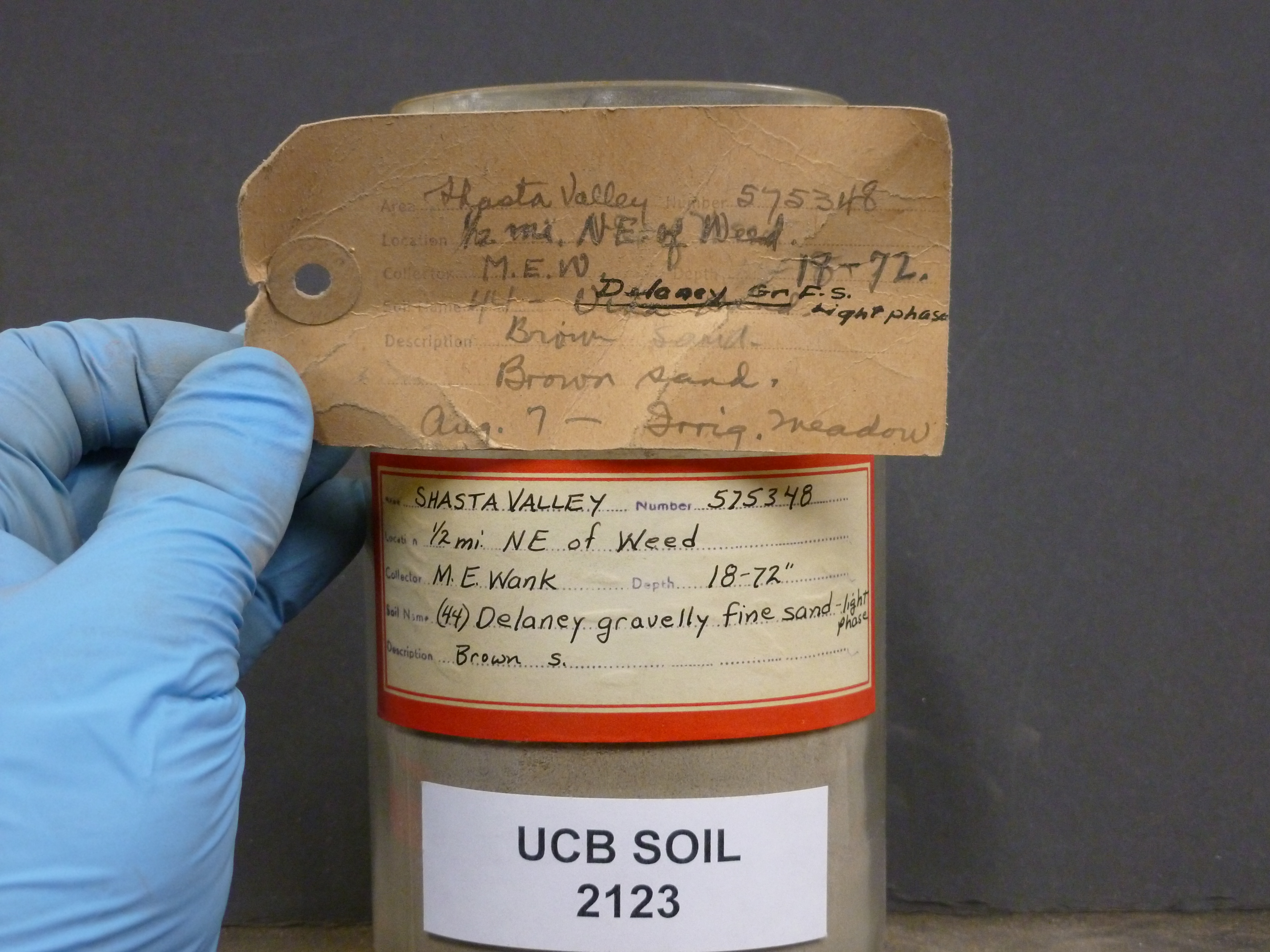 |
| Record ID | 1835
|
| UCB Soil | 2123 |
| Area | Shasta Valley |
| Code | 575348 |
| Subsoil of | |
Verbatim
Location | 1/2 mi. NE of Weed |
| Collector |
ME Wank
| | Depth | 18.00 to 72.00 inches | | Soil Name | (44) Delaney gravelly fine sand- light phase | Verbatim
Description | Brown sand. Irrigation meadow |
|
| Created By |
Taylor Winchell |
| Creation Date |
2013-03-03 17:09:55 |
| Updated By |
Sarah Hinman |
| | Coll. Date |
|
| City | |
| County |
|
| Meridian |
| | Township | | | Range | | | Section | | | Latitude | 41.437169 | | Longitude | -122.371988 | | Uncertainty Radius | 468 | | Georef by | tammydong | | Georef Remarks | |
| Code2 | |
Data Entry
Comments
(to flag the record) |
Aug 7th (no year) |
|
