click image to view enlargement
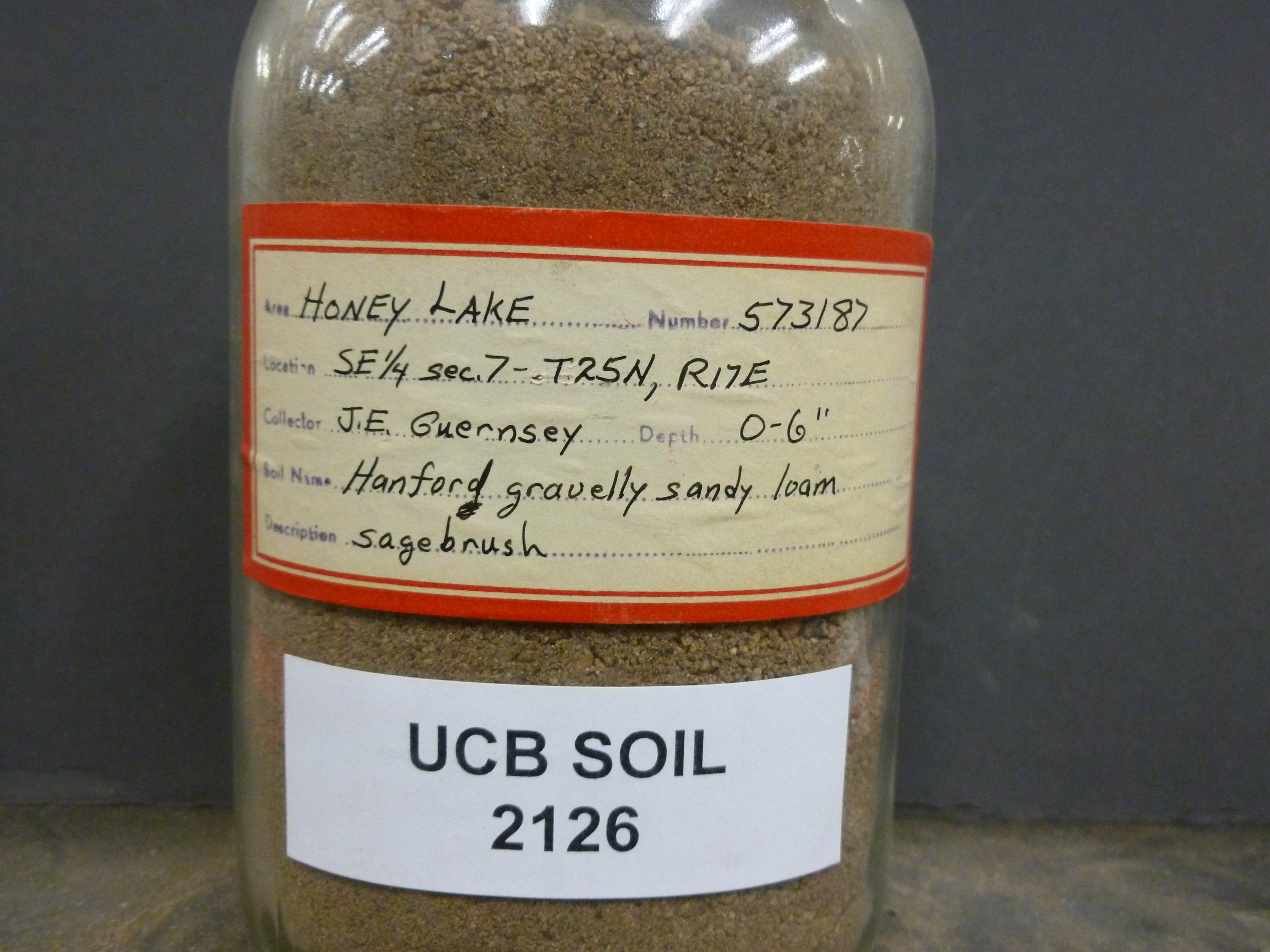 |
| Record ID | 1838
|
| UCB Soil | 2126 |
| Area | Honey Lake |
| Code | 573187 |
| Subsoil of | |
Verbatim
Location | SE 1/4 sec. 7- T25N, R17E |
| Collector |
JE Guernsey
| | Depth | 0.00 to 6.00 inches | | Soil Name | Hanford gravelly sandy loam | Verbatim
Description | sagebrush |
|
| Created By |
Taylor Winchell |
| Creation Date |
2013-03-03 17:20:15 |
| Updated By |
|
| | Coll. Date |
|
| City | |
| County |
|
| Meridian |
| | Township | 25 N | | Range | 17 E | | Section | SE 1/4 sec. 7 | | Latitude | 40.030598 | | Longitude | -120.112361 | | Uncertainty Radius | 577 | | Georef by | tammydong | | Georef Remarks | |
| Code2 | |
Data Entry
Comments
(to flag the record) |
|
|
