click image to view enlargement
 |
| Record ID | 4367
|
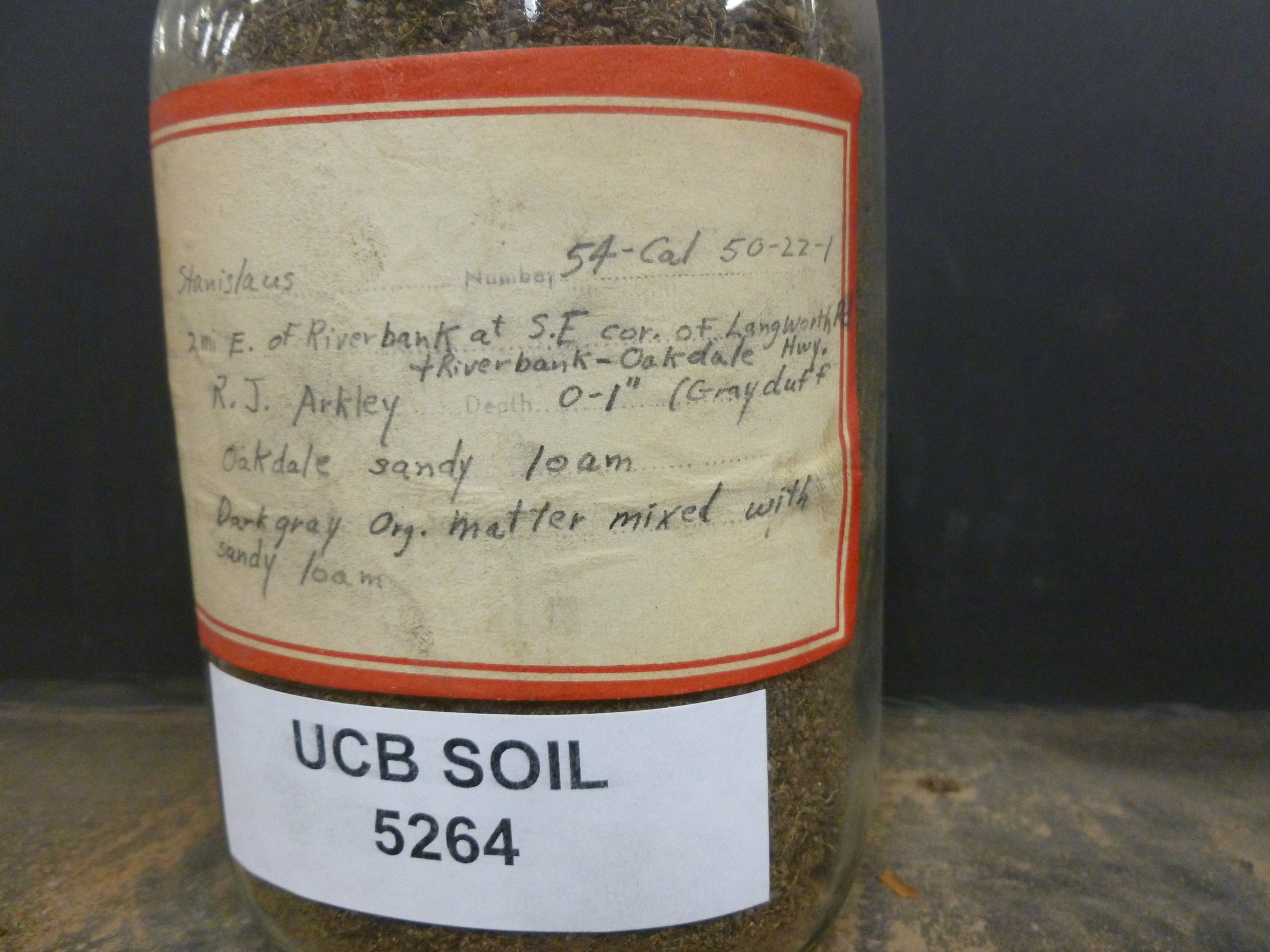
| UCB Soil | 5264 |
| Area | Stanislaus |
| Code | 54-Cal 50-22-1 |
| Subsoil of | |
Verbatim
Location | 2 mi E. of Riverbank at S.E cor. of Langworth Rd. + Riverbank-Oakdale Hwy. |
| Collector |
RJ Arkley
| | Depth | 0.00 to 1.00 inches | | Soil Name | Oakdale sandy loam | Verbatim
Description | Dark gray Org. matter mixed with sandy loam |
|
| Created By |
Sky Korber |
| Creation Date |
2013-06-14 14:13:37 |
| Updated By |
|
| | Coll. Date |
|
| City | |
| County |
|
| Meridian |
| | Township | | | Range | | | Section | | | Latitude | 37.754016 | | Longitude | -120.89764 | | Uncertainty Radius | 113 | | Georef by | tammydong | | Georef Remarks | |
| Code2 | |
Data Entry
Comments
(to flag the record) |
depth 0-1" (Grayduff |
|
