click image to view enlargement
View Photo of Additional Label (7027B.JPG)
|
| Record ID | 6693
|
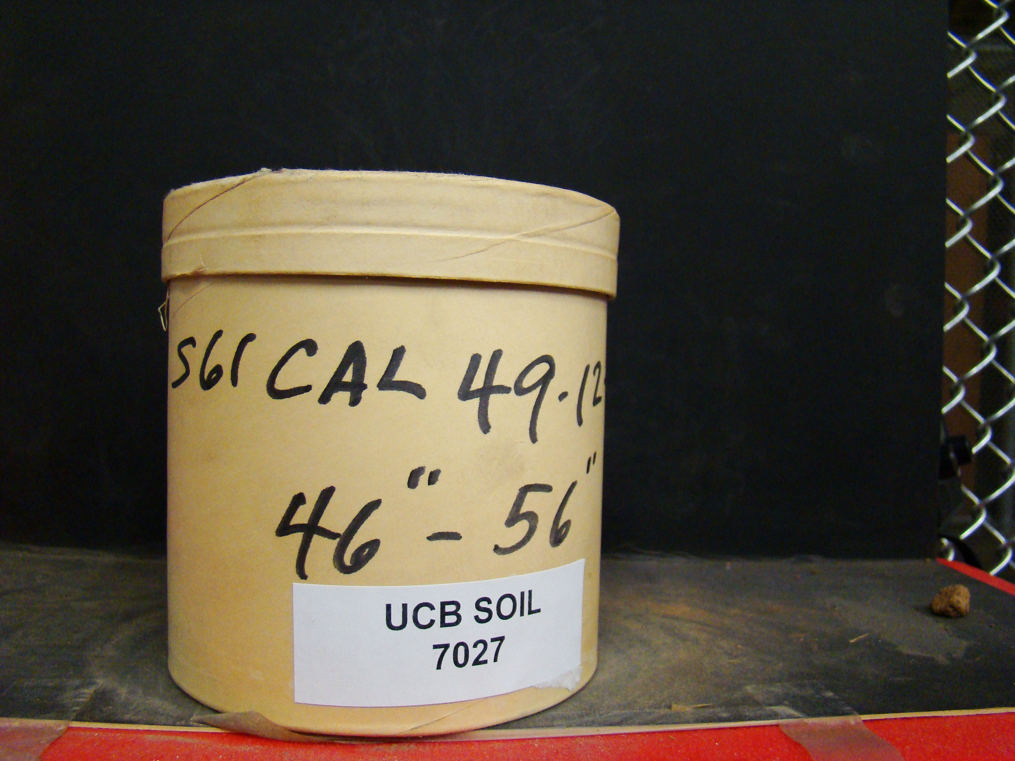
| UCB Soil | 7027 |
| Area | |
| Code | S61 Cal 49-12-6 |
| Subsoil of | |
Verbatim
Location | |
| Collector |
| | Depth | 46.00 to 56.00 inches | | Soil Name | | Verbatim
Description | |
|
| Created By |
Sam Swayze |
| Creation Date |
2013-10-22 16:59:40 |
| Updated By |
Natalie Mezaki |
| | Coll. Date |
|
| City | |
| County |
|
| Meridian |
| | Township | | | Range | | | Section | | | Latitude | | | Longitude | | | Uncertainty Radius | | | Georef by | sswayze | | Georef Remarks | Only state level given |
| Code2 | |
Data Entry
Comments
(to flag the record) |
|
|
