click image to view enlargement
View Photo of Additional Label (8425B.JPG)
|
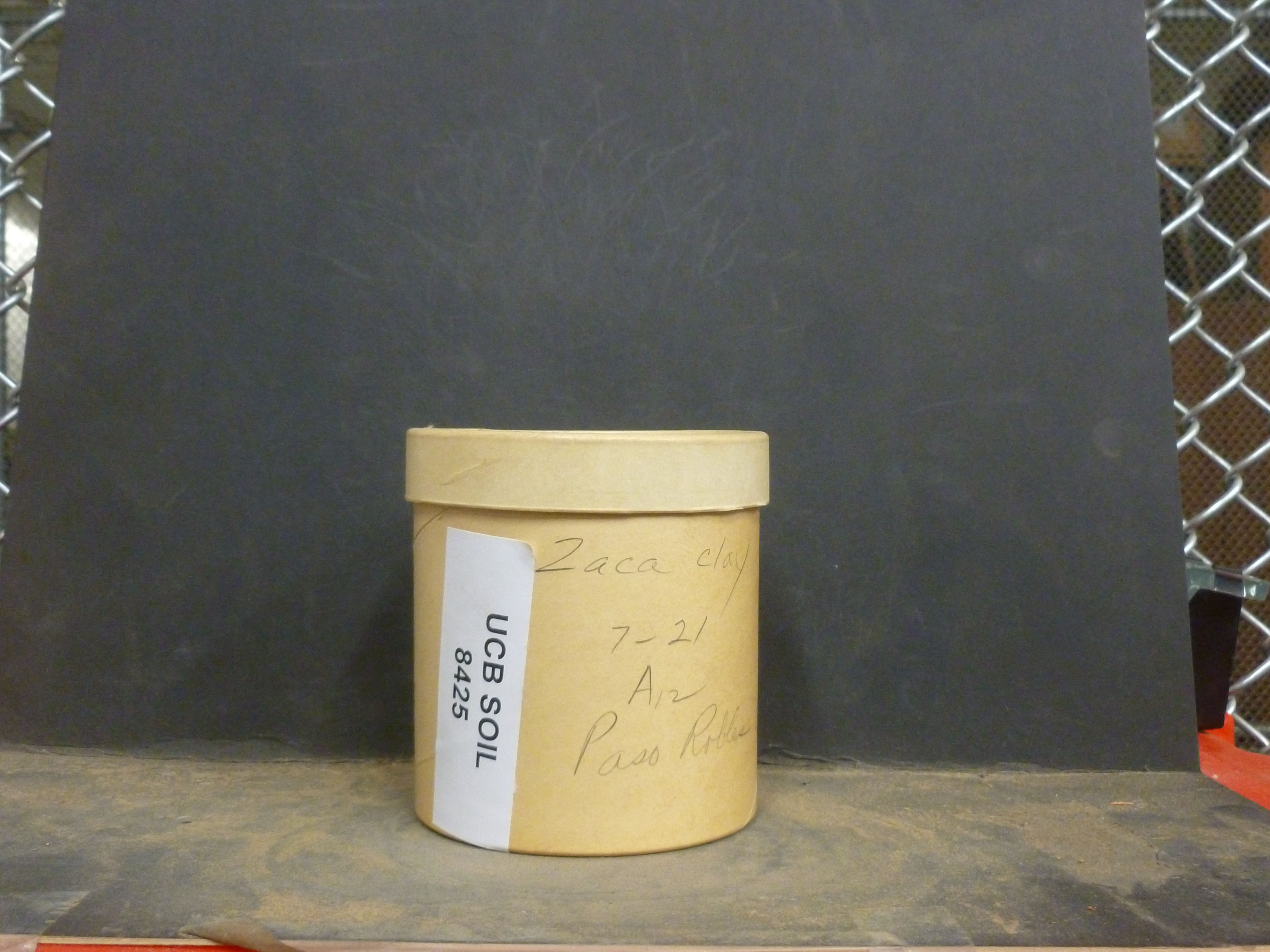
| Record ID | 8138
|
| UCB Soil | 8425 |
| Area | Paso Robles |
| Code | |
| Subsoil of | |
Verbatim
Location | |
| Collector |
| | Depth | 7.00 to 21.00 inches | | Soil Name | Zaca | Verbatim
Description | clay |
|
| Created By |
Sam Swayze |
| Creation Date |
2013-11-05 15:25:28 |
| Updated By |
|
| | Coll. Date |
|
| City | |
| County |
|
| Meridian |
| | Township | | | Range | | | Section | | | Latitude | 35.62667 | | Longitude | -120.69 | | Uncertainty Radius | 8197 | | Georef by | sswayze | | Georef Remarks | Some within the batch say 'Paso Robles Area' and some say 'Paso Robles' Uncertainty expanded in order to cover Paso Robles and the more vague term of area |
| Code2 | A12 |
Data Entry
Comments
(to flag the record) |
|
|
