click image to view enlargement
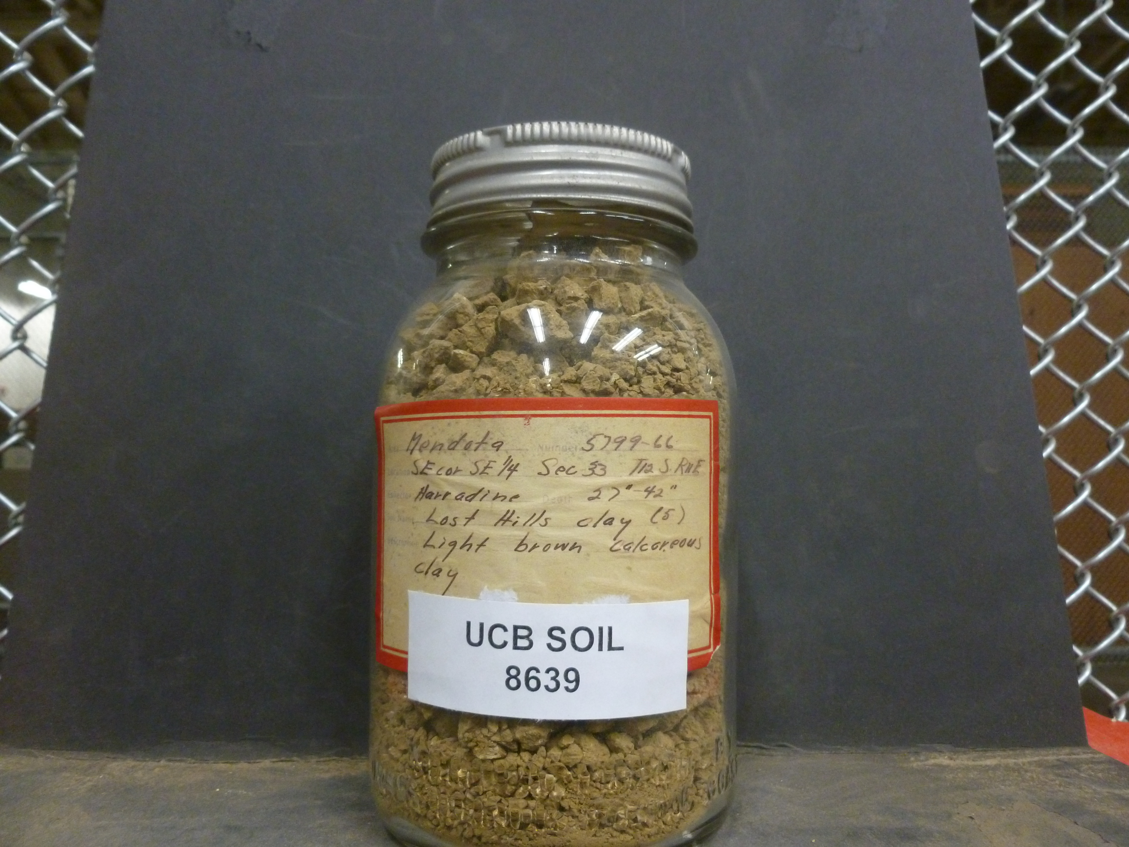 |
| Record ID | 8391
|
| UCB Soil | 8639 |
| Area | Mendota |
| Code | 5799-66 |
| Subsoil of | |
Verbatim
Location | SE cor SE 1/4 Sec 33 T12S R11E |
| Collector |
FF Harradine
| | Depth | 27.00 to 42.00 inches | | Soil Name | Lost Hills clay | Verbatim
Description | (5) light brown calcareous clay |
|
| Created By |
Sam Swayze |
| Creation Date |
2013-11-07 12:51:14 |
| Updated By |
Robby Gottsegen |
| | Coll. Date |
|
| City | |
| County |
|
| Meridian |
| | Township | 12 S | | Range | 11 E | | Section | SE cor SE 1/4 Sec 33 | | Latitude | 36.837944 | | Longitude | -120.765244 | | Uncertainty Radius | 307 | | Georef by | preethikandhalu | | Georef Remarks | Adjusted uncertainty based upon SE/4 SE/4 of the section. |
| Code2 | |
Data Entry
Comments
(to flag the record) |
|
|
